Localescan
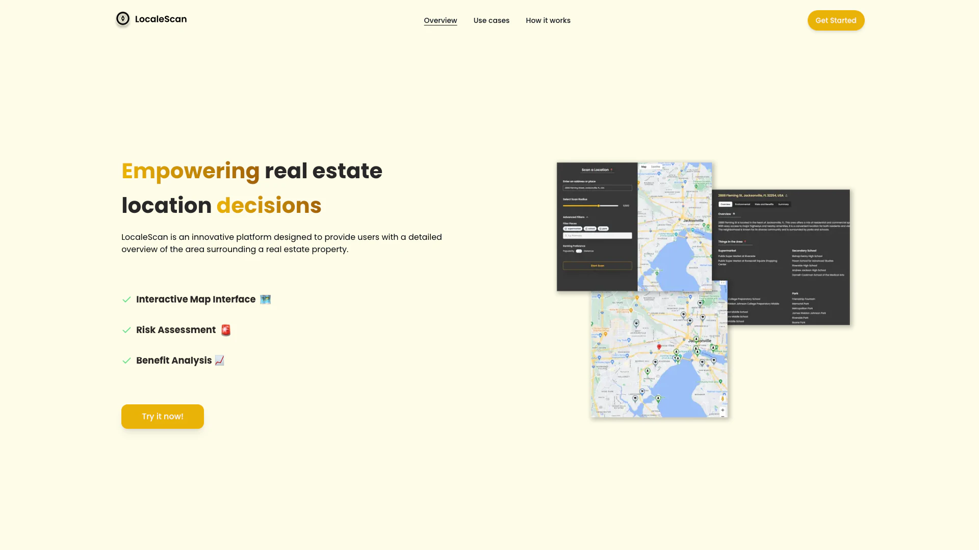





What is LocaleScan[1]?
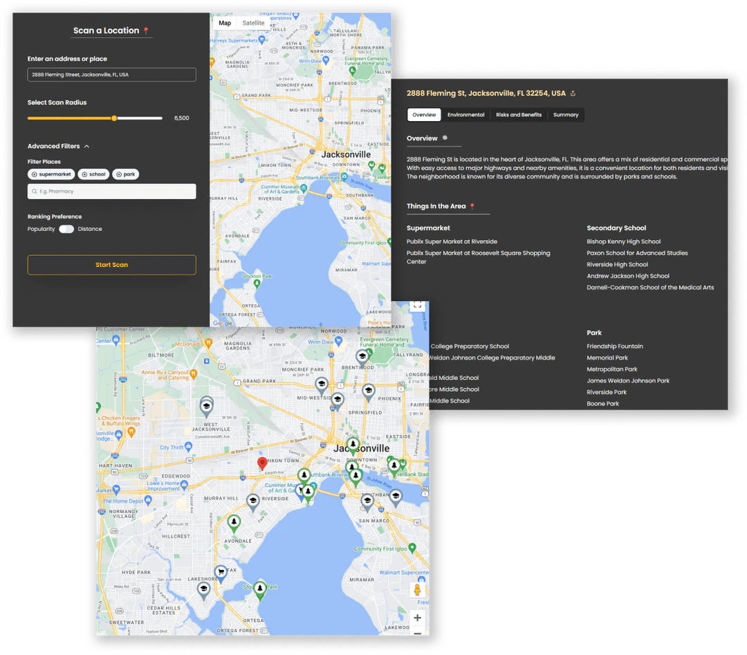
LocaleScan is an innovative platform designed to provide users with a comprehensive overview of the area surrounding a real estate property. By leveraging advanced tools and artificial intelligence, LocaleScan empowers users to make informed real estate decisions by offering insights into local amenities[4], safety statistics, environmental risks[5], and economic conditions. The platform features an interactive map[2] interface that allows users to explore various layers of information, making it a valuable resource for home buyers, renters, real estate investors, and agents.
How to use LocaleScan?
- Specify a location to analyze by entering the address or coordinates of the property.
- Define a scan radius to determine how far around the specified location you want to gather data.
- Enjoy the results as LocaleScan presents a detailed overview of the area, including amenities, risk assessment[3]s, and economic conditions.
What are the main features of LocaleScan?
- Interactive Map Interface: A user-friendly map that allows exploration of various layers of information about the property area.
- Risk Assessment: Provides up-to-date statistics on crime rates, environmental hazards, and economic stability in the area.
- Benefit Analysis: Highlights local amenities, educational opportunities, and childcare facilities to evaluate lifestyle options.
Who is LocaleScan for?
LocaleScan is designed for a diverse audience, including home buyers who need to assess neighborhood safety and convenience, renters evaluating potential rental properties, real estate investors seeking high-potential investment areas, real estate agents providing data-driven insights to clients, and urban planners or developers understanding existing conditions and challenges of development sites.
What are the use cases of LocaleScan?
- Home Buyers: Assess the safety, convenience, and overall suitability of a neighborhood before purchasing a property.
- Renters: Evaluate the pros and cons of different rental properties based on their location.
- Real Estate Investors: Identify high-potential investment areas and avoid locations with significant risks.
- Real Estate Agents: Provide clients with detailed, data-driven insights into potential properties.
- Urban Planners and Developers: Understand the existing conditions and potential challenges of development sites.
Product Images


Localescan Pros and Cons
Pros
- Interactive Map Interface: The platform features a user-friendly interactive map that allows users to explore various layers of information about the property area, enhancing the decision-making process.
- Comprehensive Risk Assessment: LocaleScan provides up-to-date statistics on crime rates and environmental hazards, helping users make informed decisions regarding safety and potential risks.
- Benefit Analysis of Local Amenities: The tool highlights nearby amenities such as schools, restaurants, and shopping centers, allowing users to evaluate the convenience and lifestyle options available.
Cons
No cons data detected for this tool