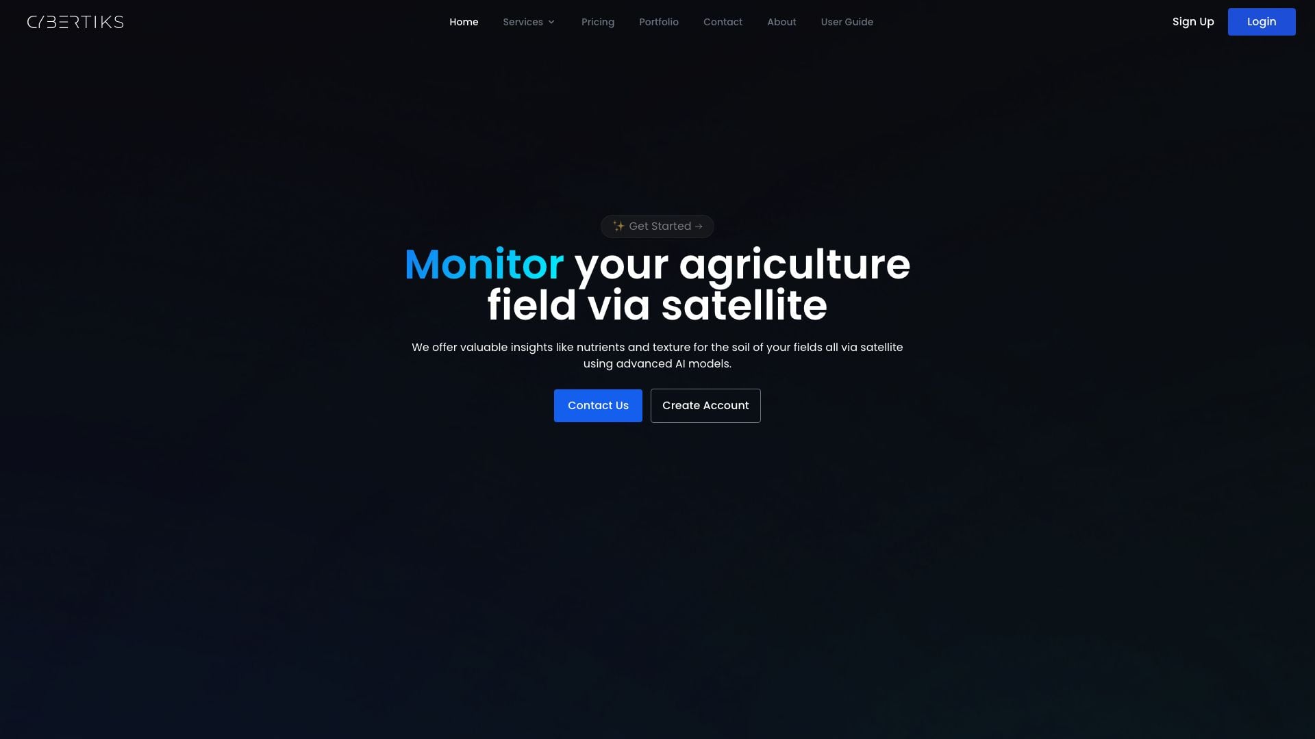
Geospatial Analysis For Agriculture
What is Geospatial Analysis For Agriculture?
Geospatial Analysis For Agriculture is an innovative tool developed by Cybertiks that leverages advanced satellite imagery and AI technology to provide comprehensive insights into agricultural fields. This tool enables users to monitor soil nutrients, texture, and overall field health from a distance, thus optimizing agricultural practices. With its ability to analyze any field globally, Geospatial Analysis For Agriculture offers precise metrics and insights, empowering farmers and agricultural professionals to make informed decisions to enhance crop yields and sustainability.
How to use Geospatial Analysis For Agriculture?
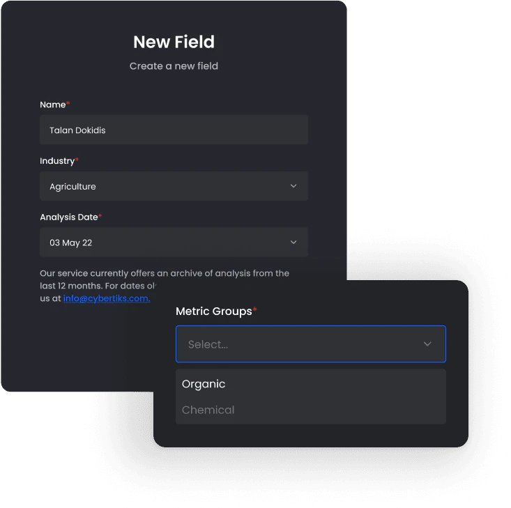
- Create a New Field: Start by entering your field's coordinates. You can do this by drawing the outline of your field directly on the platform.
- Access Historical Insights: Use the satellite's historical archive to view past metrics for your field, which can help in understanding trends over time.
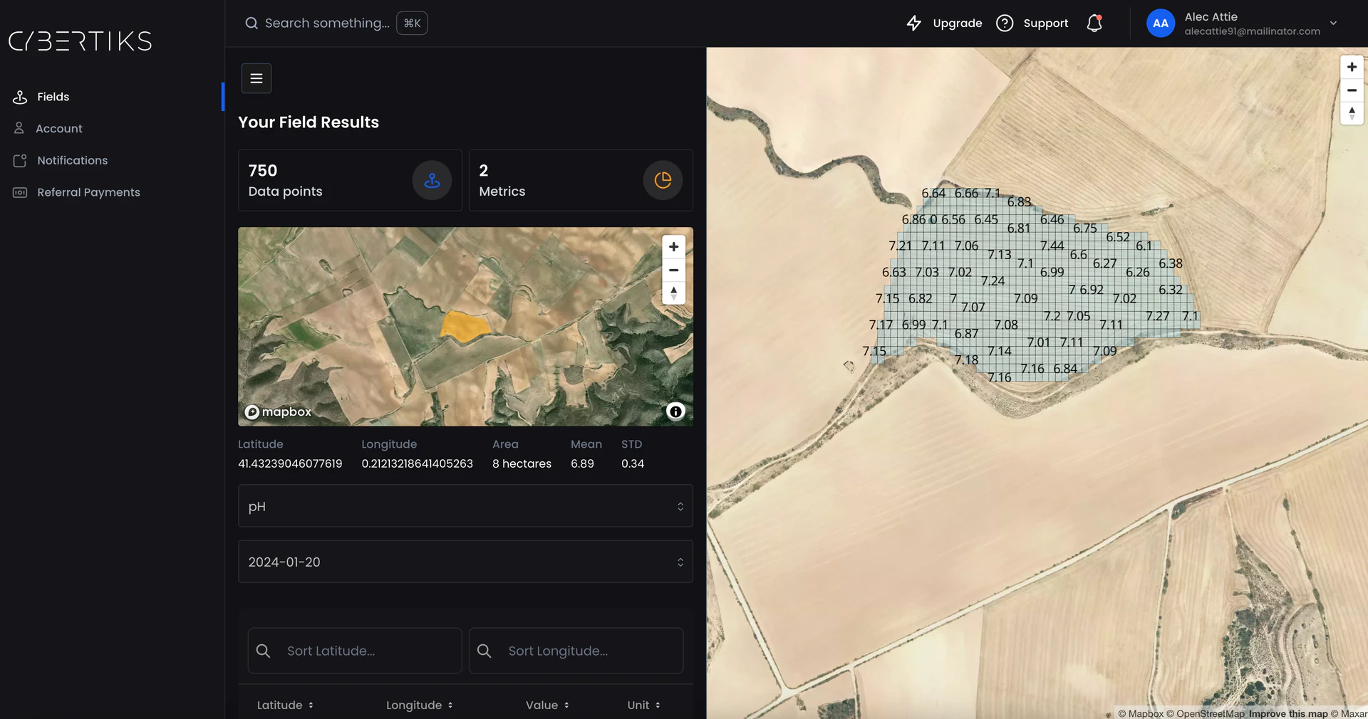
- Monitor Field Status: Regularly check the status of your field. Geospatial Analysis For Agriculture provides updated results every 7 days, allowing you to track changes and make timely adjustments.
- Visualize Results: Utilize the platform's mapping feature to view and analyze your results, offering a resolution of up to 100m² for detailed insights.
What are the main features of Geospatial Analysis For Agriculture?
- Satellite Imagery Utilization: Leverages high-resolution satellite imagery to provide accurate data on agricultural fields.
- AI-Powered Analysis: Employs advanced AI models to analyze soil nutrients, texture, and health metrics with over 80% accuracy.
- Historical Data Access: Allows users to view historical insights for better decision-making based on past data.
- Field Monitoring: Offers regular updates on field status, enabling timely interventions and adjustments.
- Visualization Tools: Provides visual representations of data on interactive maps for easy interpretation.
Who is Geospatial Analysis For Agriculture for?
Geospatial Analysis For Agriculture is designed for farmers, agricultural professionals, agronomists, and researchers who seek to enhance crop management and productivity. It is particularly beneficial for those managing large agricultural operations, as it provides critical insights into soil health and field conditions without the need for physical inspections. Additionally, agricultural consultants and organizations involved in precision farming can utilize this tool to deliver tailored recommendations to their clients.
What are the use cases of Geospatial Analysis For Agriculture?
- Precision Agriculture: Farmers can use the tool to optimize planting strategies and resource allocation based on soil health and nutrient availability.
- Crop Monitoring: Agricultural professionals can regularly monitor crop health and make informed decisions regarding irrigation and fertilization.
- Research and Development: Researchers can analyze data from various fields to study agricultural trends, helping to develop new farming techniques and technologies.
Product Images
Geospatial Analysis For Agriculture Pros and Cons
Pros
- Advanced AI Models: The service uses advanced AI models tailored for each metric and has achieved over 80% accuracy through testing and validation.
- Remote Field Analysis: Allows users to analyze any field in the world remotely and provides valuable insights such as soil nutrients and texture.
- Regular Monitoring: Users receive updates on field status every 7 days, ensuring timely insights.
Cons
No cons data detected for this tool
Geospatial Analysis For Agriculture Compare
Info current as of post date. Offers and availability may vary by location and are subject to change.
Geospatial Analysis For Agriculture Q&A
You can monitor your agriculture field via satellite using advanced AI models to get insights like nutrients and texture for the soil.
Geospatial Analysis For Agriculture Alternatives
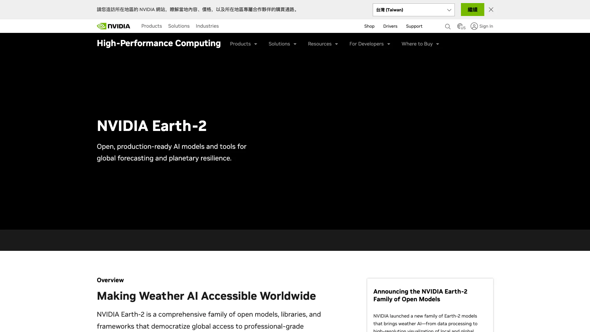
NVIDIA Earth-2 provides AI-driven climate modeling and weather forecasting.
- Data & Analytics
- AI Data Analytics Tools
- AI Prediction Tools
- AI Research Tools
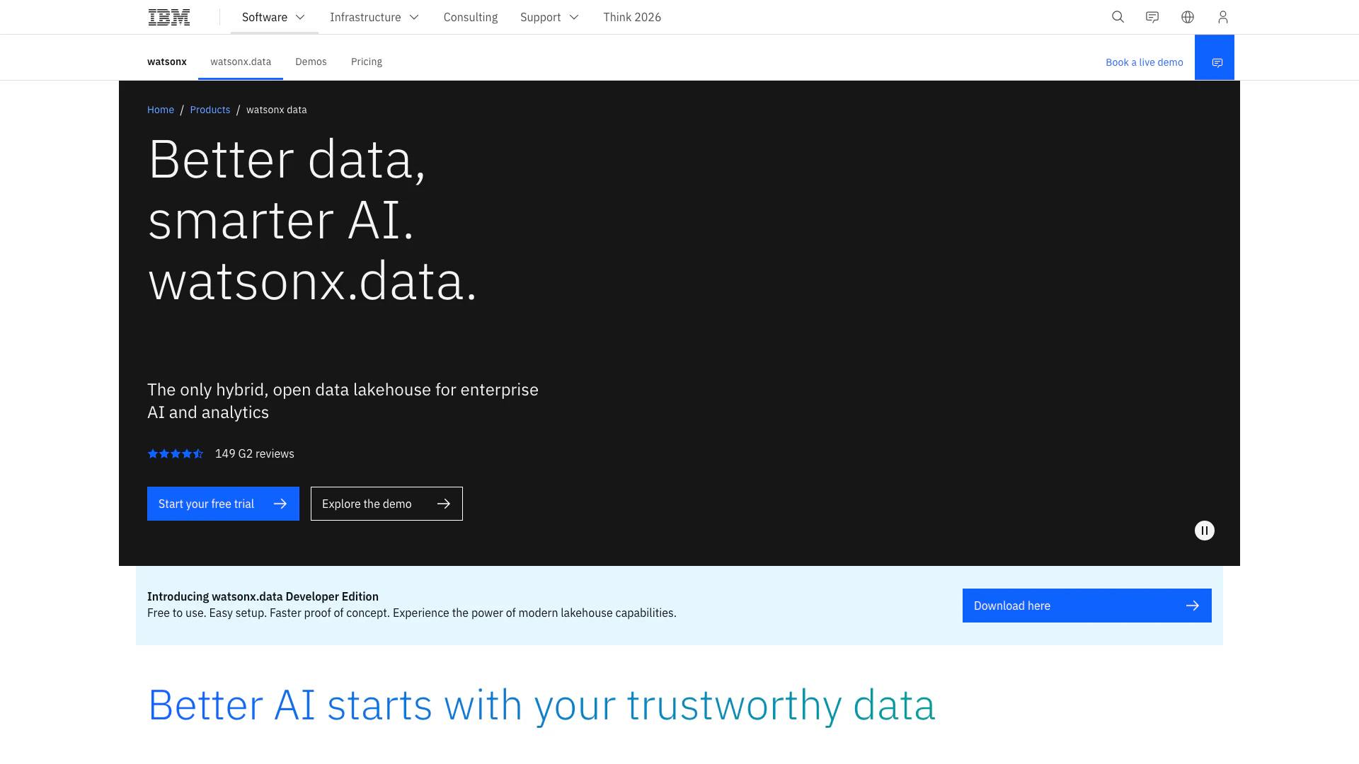
A hybrid open data lakehouse for AI and analytics.
- Data & Analytics
- AI Data Analytics Tools
- Cloud Infrastructure Management Tools
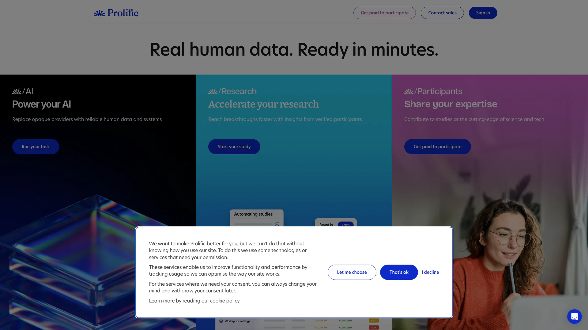
Prolific provides quick access to high-quality human data for AI and research.
- Data & Analytics
- AI Data Analytics Tools
- AI Research Tools
- Form Building and Data Collection Tools